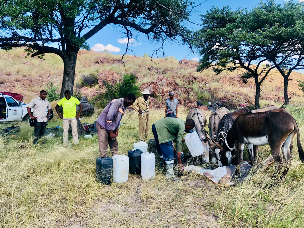
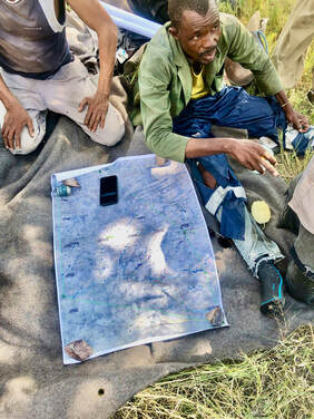
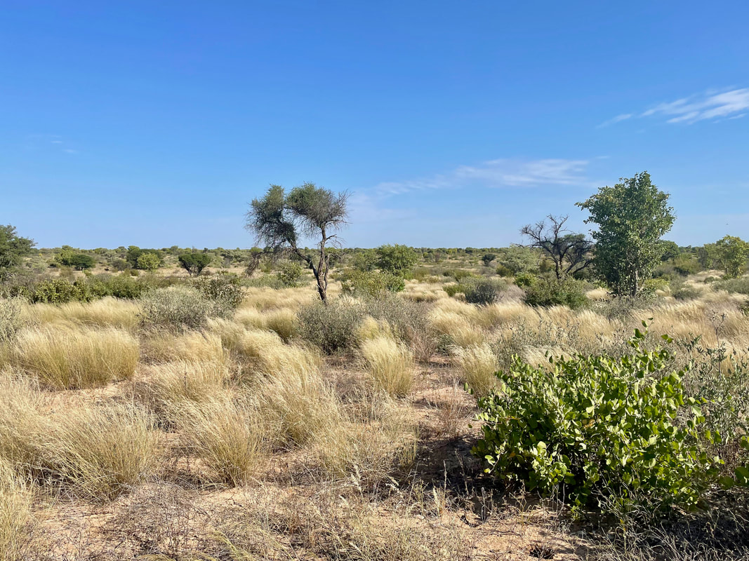
Back in early 2022, we started the process with a six-day workshop held with 22 community members to train them in surveying and data recording techniques so that they would have the capacity to conduct these challenging surveys. On the 12th May, the first expedition team headed out to the bush on foot for the first week-long expedition. CCB staff assisted with logistical planning and supplying resources, including helping expedition members source food for the trip, donkeys to carry equipment, and burying drums of water in strategic places along their route so that they didn’t succumb to dehydration in what is sometimes referred to as the “great thirstland”. After over 12 months of hard work, planning, surveying, data collection, analyses and reporting, we are proud to report that the last expedition was completed in April. Incredible plant and animal life was recorded across the area, but some of the notable treasures discovered included a fossilised riverbed, mineral licks used by animals over such long periods that they have created caves, archaeological artifacts such as pipes made of bone, boulders where traditional hunters sharpened their spears for generations, leaving deep indentations in the rock and even graves of two adventurers whose plane crashed in the area in 1968. These discoveries were so remarkable that they sparked an investigation by a team from the Department of National Museums and Monuments who went on to declare a particular portion of the Okwa River Valley as a site of significant cultural heritage. This is an important development, as the area is currently under consideration for land use change to cattleposts and grazing lands, despite the communities ongoing lease of the area.
The natural and cultural resource reviews have been a rigorous and demanding exercise for all involved, but has generated great excitement amongst participants, the communities and CCB alike. Following the final expedition, a debriefing meeting was organised for participants surveys in Kacgae, to reflect on the planning and execution of the surveys. Now the data has been captured, it will be used by the communities to update the land use management plan for GH10, which will serve as a roadmap for development for these communities for many years to come.


 RSS Feed
